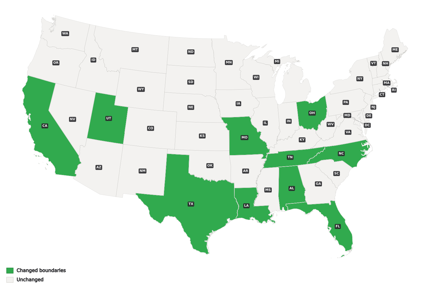
A handful of additional states are also in various stages of the redistricting process, although it is unlikely that those changes will be enacted in time for the 2026 general election. Because Congressional District boundaries can change, keeping geographic information current is essential.
Marketing Systems Group is committed to staying up to date with redistricting activity taking place across the country. Check back regularly for the latest updates.
Congressional District Overview
The U.S. House of Representatives is made up of 435 voting members representing all 50 states. Each member of the House represents the people who reside within a single Congressional District, serving as their voice in the federal government.
Congressional Districts are geographic divisions contained entirely within individual states. Following each decennial census, the U.S. Census Bureau may reallocate the number of Congressional Districts assigned to each state based on changes in population across the country.
Within a state, Congressional Districts are designed to be as equal in population as practicable. Individual states are responsible for establishing their Congressional District boundaries and may update those boundaries within the applicable two-year window.
As district boundaries change, accurate and current geographic information becomes increasingly important for organizations conducting research at the Congressional District level. MSG continues to follow these changes closely, so our geographic information reflects the latest Congressional District boundaries available.